

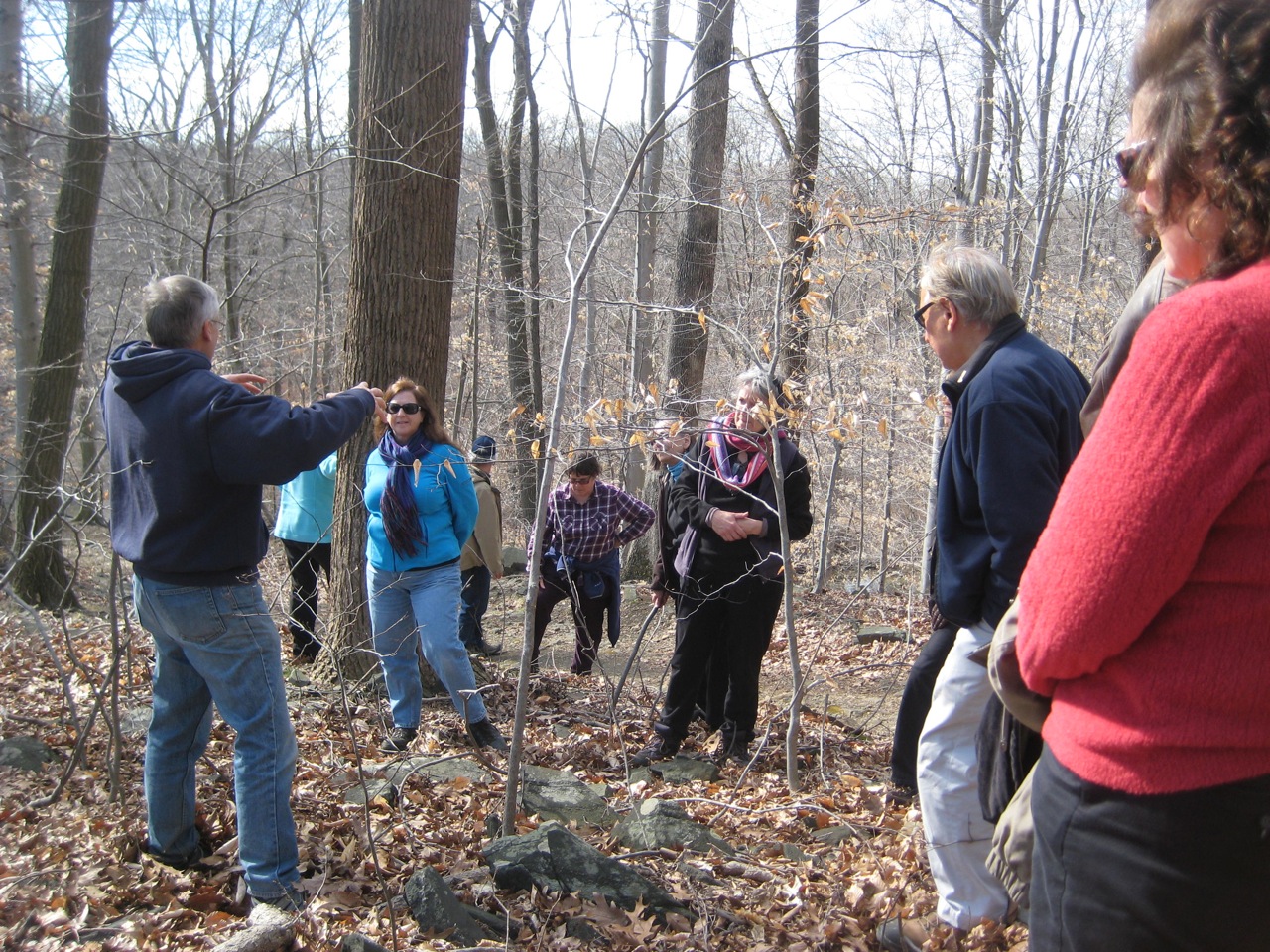
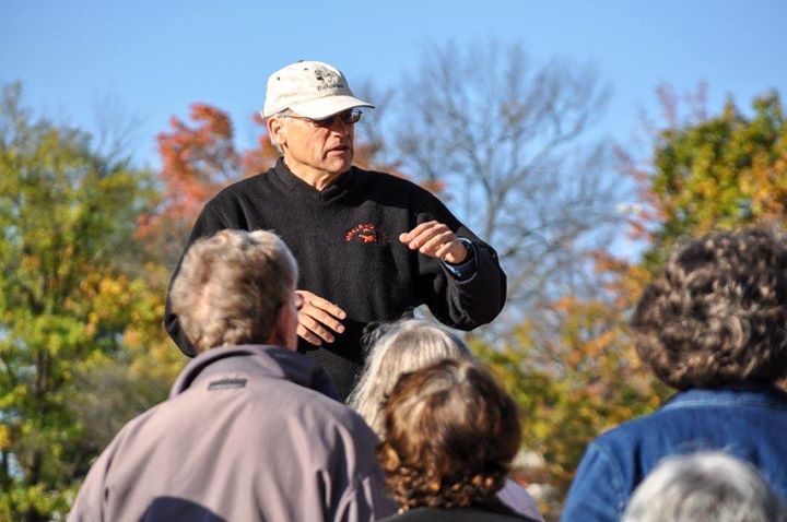
 Well here they are. My new rankings for 2015!! All are good for walking, some are fine for jogging or biking. A few are used by horseback riders. My challenge to you is to get outside this spring and explore each of these. If you have a group to inspire, feel free to contact me at ned@sustainable.us. I routinely lead interpretive hikes on all of these paths.
My Favorite Hikes
- Wincopin Trail off Vollmerhausen – hilly and wooded paths that lead down to the confluence of the Middle and Little Patuxent rivers. Majestic beech trees, blue gabbros, and quarries.
- Cascade Trail in Avalon Part of Patapsco State Park – steep, rocky, and challenging but quite pretty.
- Mt Pleasant Trails in Woodstock – easy walk thru meadows and woods at the Howard County Conservancy.
- Lake Elkhorn to Savage – paved and flat with a few hills, granite and gabbros, and railroad bridges.
- Middle Patuxent Environmental Area – fairly easy walk through successional forests.
- Patapsco River – Follow the trail East of Sykesville – steep and often muddy. Well used by horseback riders.
- Lake Elkhorn – paved and flat, and lots of wildlife.
- Centennial Lake – paved and flat and many birds migrate through here.
- Lake Kittamqundi/Wilde Lake – paved and flat, with great views of downtown.
- Sewells Orchard Ponds to Jackson Pond – paved and flat with interesting water features, granite boulders, and beautiful beeches.
I actually have more than ten. Be sure to visit these places as well:
Western Regional Park has a nice rolling paved path system with some natural surface loops. Meadowbrook Park is also a nice rolling paved path system. Schooley Mill Park, Belmont, and Rockburn Park have natural surface trails.
There are maps of all of these. You can access them by going to these online resources for more details:
https://data.howardcountymd.gov/olmaps/interactivemap.html
http://chamspage.blogspot.com/2012/09/patapsco-state-park-avalon-area-trail.html
http://www.howardcountymd.gov/departments.aspx?ID=6442456376
For Columbia area, CA does have their Columbia Pathways App.
http://www.columbiaassociation.com/i-want-to/explore/ca-pathway-mobile-application
The online version of the map is here: http://www.columbiaassociation.com/home/showdocument?id=5904
Chris Eatough, the Howard County bicycling and pedestrian coordinator has these suggestions: Google maps is also pretty effective for this if you use it in “bicycling” mode. On the top left of your google maps page, look for the “getting around” box and turn on the “Bicycling” option. You will then see a version of the map that shows all pathways (google calls them trails) in dark green. It’s really nice to be able to use all the great google features such as search by address, search by business name, directions (designed for biking), streetview, etc. and still be able to see the trails.
Take-a-way: Time to get out of the house and explore the wonders right in your own backyard.


Good post. I would add that the trail from Lake Elkhorn to the underpass of Oakland Mills Road and then along the trail parallel to Dobbin Road all the way to Howard High is a nice 8 mile round trip hike.
LikeLike
I agree that is well worth the trip. I often bike it and then continue south to Savage.
Ned
LikeLike